Voluntary corporate emissions targets not enough to create real climate action
Imperial and CNRS strengthen UK-France science with new partnerships
New AI startup accelerator led by Imperial opens for applications
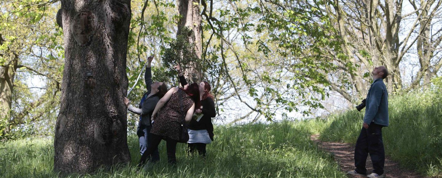
UK-wide citizen science initiative that ran from 2007-2019 and enabled the public to get hands-on with nature